
Loading, please wait...
LOT 1976
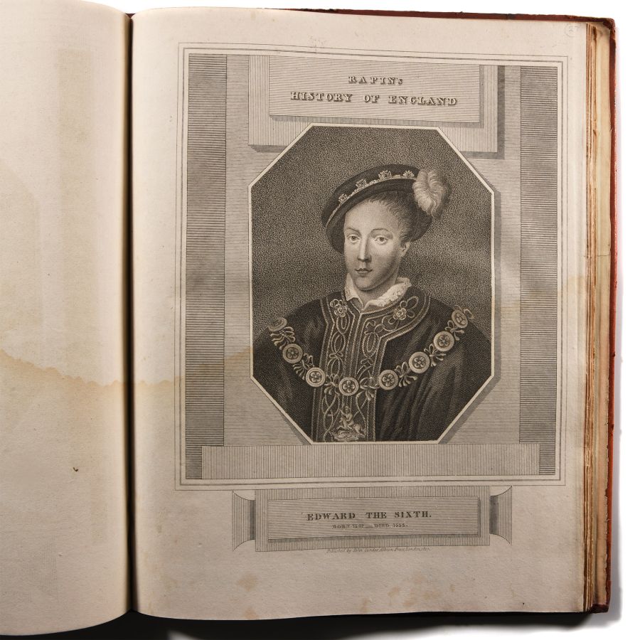
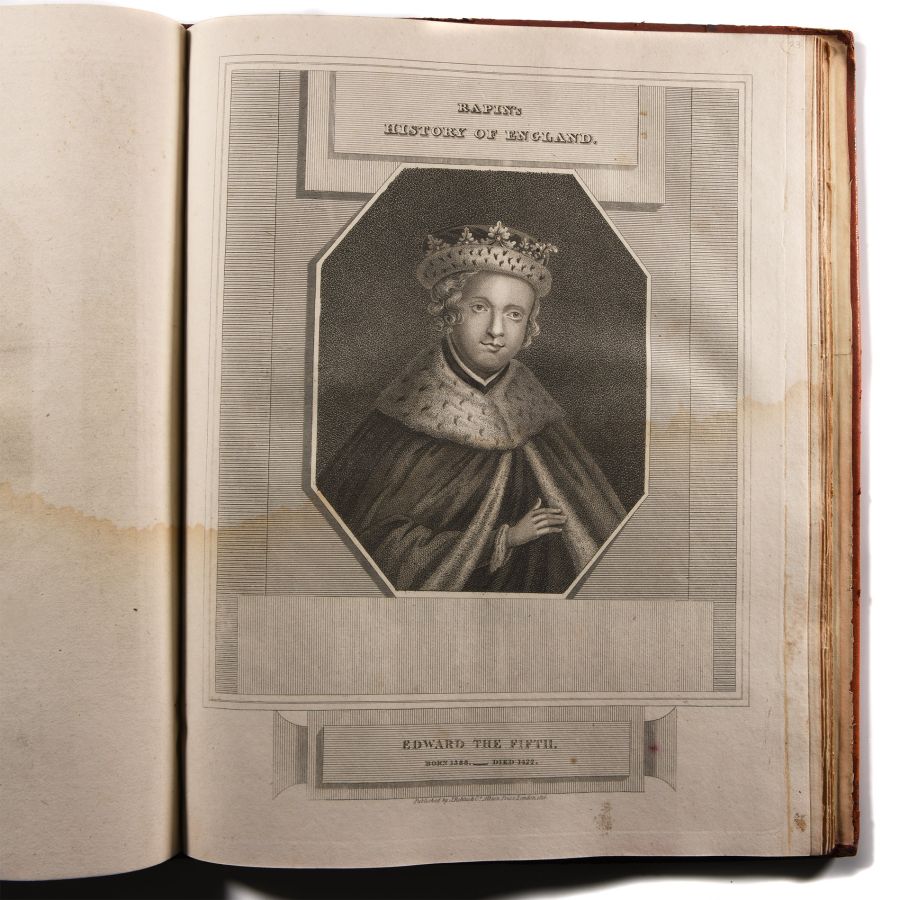
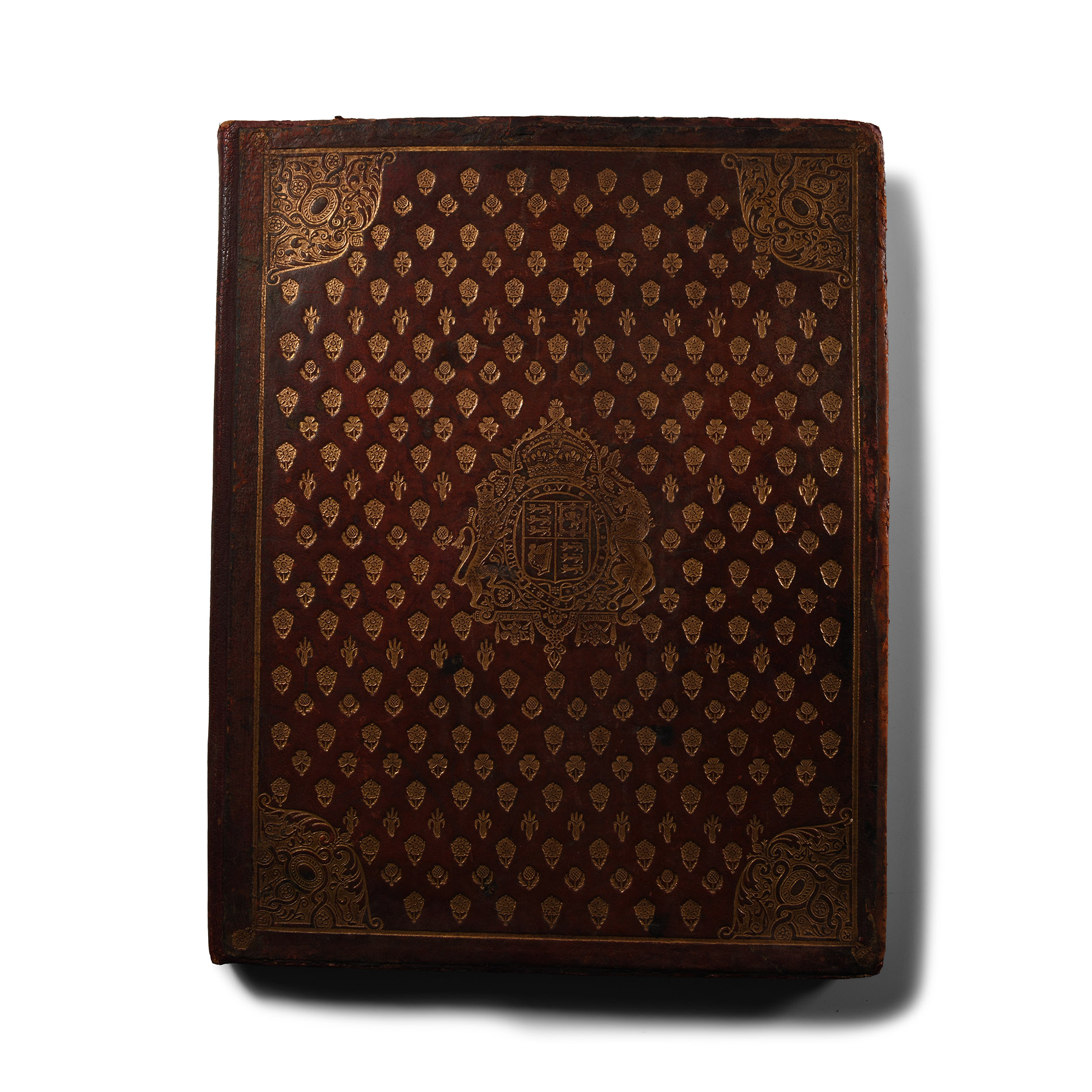
General Books - Rapin's History of England Plate Atlas in Royal Binding
PUBLISHED 1813-1816 A.D.
12 5/8 x 9 7/8 in. (786 grams, 32 x 25 cm).
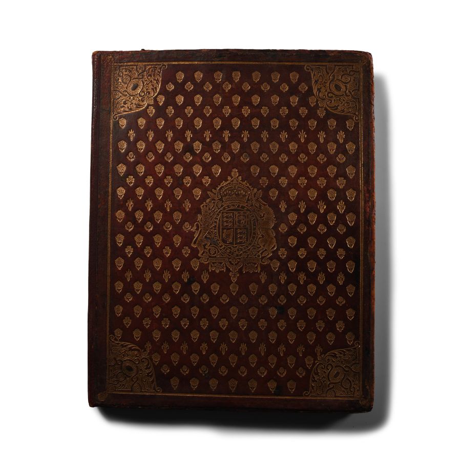
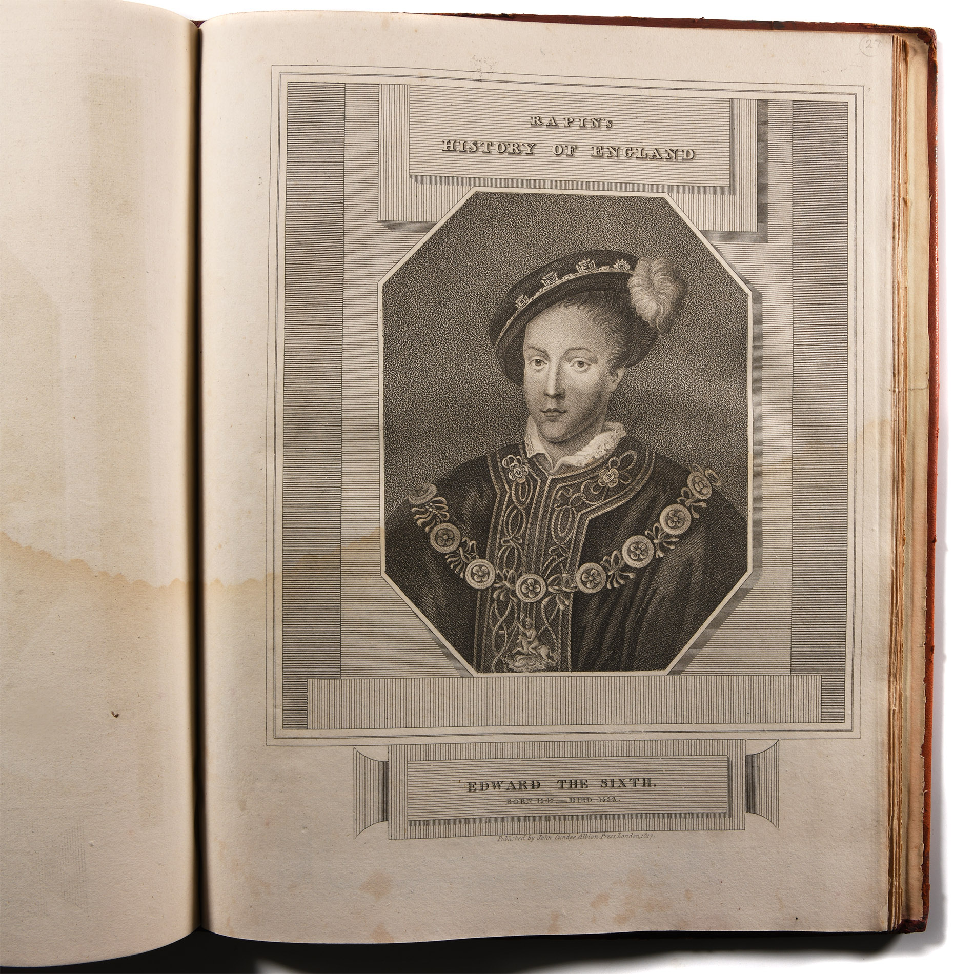
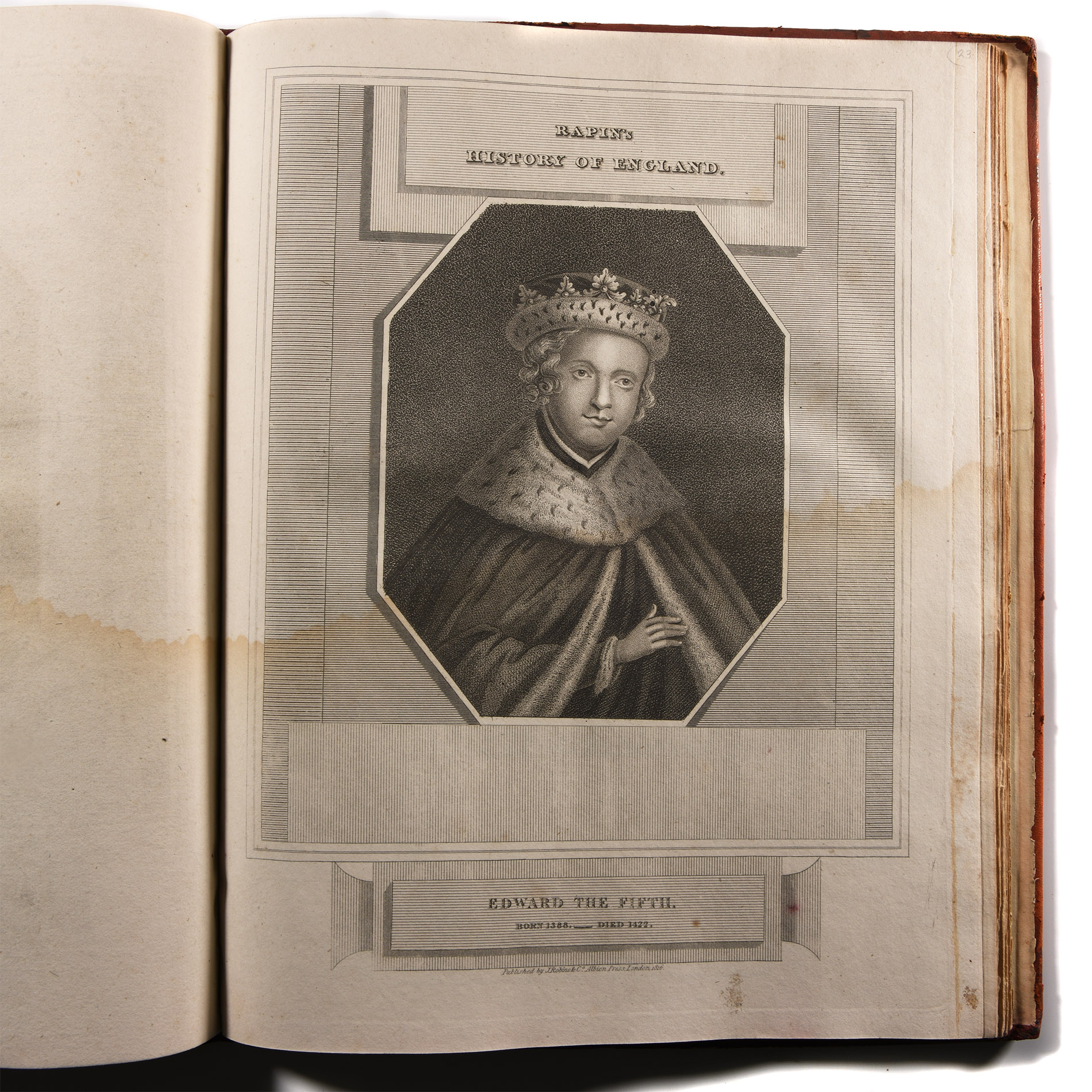
An atlas volume of forty steel-engraved plates of the Kings and Queens of England from Egbert to the Prince Regent, from the monumental The History of England by Thoyras [Pau] Rapin, with laid down title page stating 'Published by J & J Cundee, Ivy Lane, Paternoster Row, London'; the plates generally water stained to lower parts and with some light foxing; the original binding of superb quality red morocco bearing the impressed and gilded framed royal arms with repeated emblems (leek, thistle, shamrock and rose) around for the United Kingdom with ornamental corners; rebound at some time with later spine and board edges re-covered. Binding repaired but boards fine (lightly soiled), plates water stained. [No Reserve]
ProvenanceProperty of a Kent, UK, collector.
CONDITIONTimeLine Auctions follows a vetting process to ensure the authenticity and legality of all items, reinforcing our commitment to integrity and responsible trading. Each antiquity, antique, and coin lot undergoes thorough examination by a vetting committee of at least ten external specialists, professional trade association members, scientists, and archaeologists: Our Vetting Process
AUCTIONS:
TimeLine is a leading auction house specialising in antiquities, ancient art, collectables, natural history, coins, medals, and books. Our auctions offer museums, collectors, historians, and enthusiasts the opportunity to acquire unique and historically significant pieces.
LOT 1976
General Books - Rapin's History of England Plate Atlas in Royal Binding
Sold for (Inc. bp): £111
-
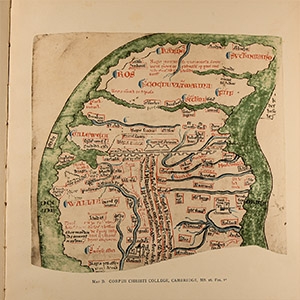
General Books - Four Maps of Great Britain Designed by Matthew Paris About A.D. 1250
1928 A.D.Sold for (Inc. bp): £59
Four Maps of Great Britain Designed by Matthew Paris About A.D. 1250 -Trustees of the British Museum, London, 1928 - hardback, cloth binding to boards - 11pp, 4 colour maps; one page partly detached. 669 grams, 41 x 29.5 cm
Property of a Kent, UK, collector. -
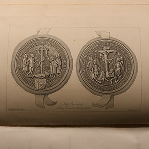
General Books - Waters - Genealogical Memoirs of the Kindred Families of Thomas Cranmer, Archbishop of Canterbury, and Thomas Wood, Bishop of Lichfield
1877 A.D.Sold for (Inc. bp): £364
Robert Edmond Chester Waters - Genealogical Memoirs of the Kindred Families of Thomas Cranmer, Archbishop of Canterbury, and Thomas Wood, Bishop of Lichfield - Robson & Sos, London, 1877 - hardback with full leather binding, gold blocking and titling to covers and spine - 162 pp, frontispiece. 967 grams, 25.5 x 19.5 cm
Property of a Kent, UK, collector. -
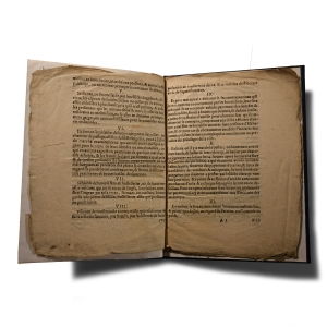
General Books - Instruction Generale Pour Tous Officiers
Dated 1644 A.D.Sold for (Inc. bp): £26
Ordinance of 1644 relating to 'Monnoyes d'or ou d'argent' (gold and silver coins) used in markets - 11 pages bound in hardback with leatherette cover, marbled endboards - signed by 'Balbouth'. 282 grams, 24.5 x 18.7 cm
Property of a Kent, UK, collector.
