
Loading, please wait...
LOT 1979
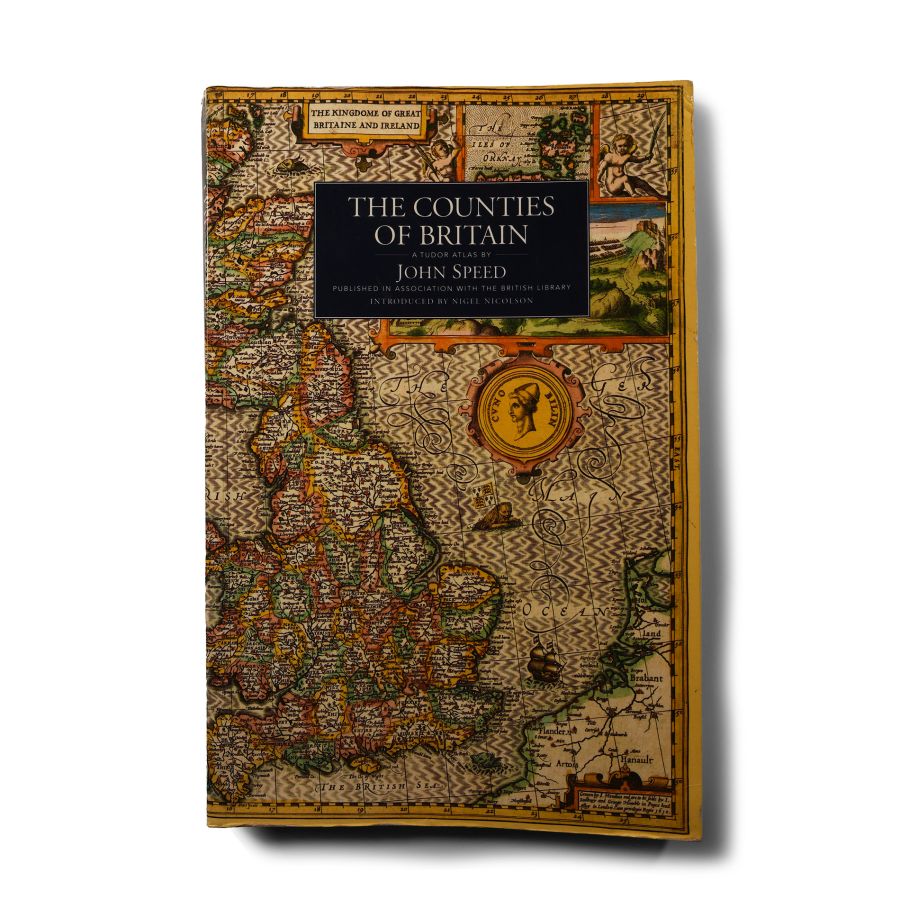
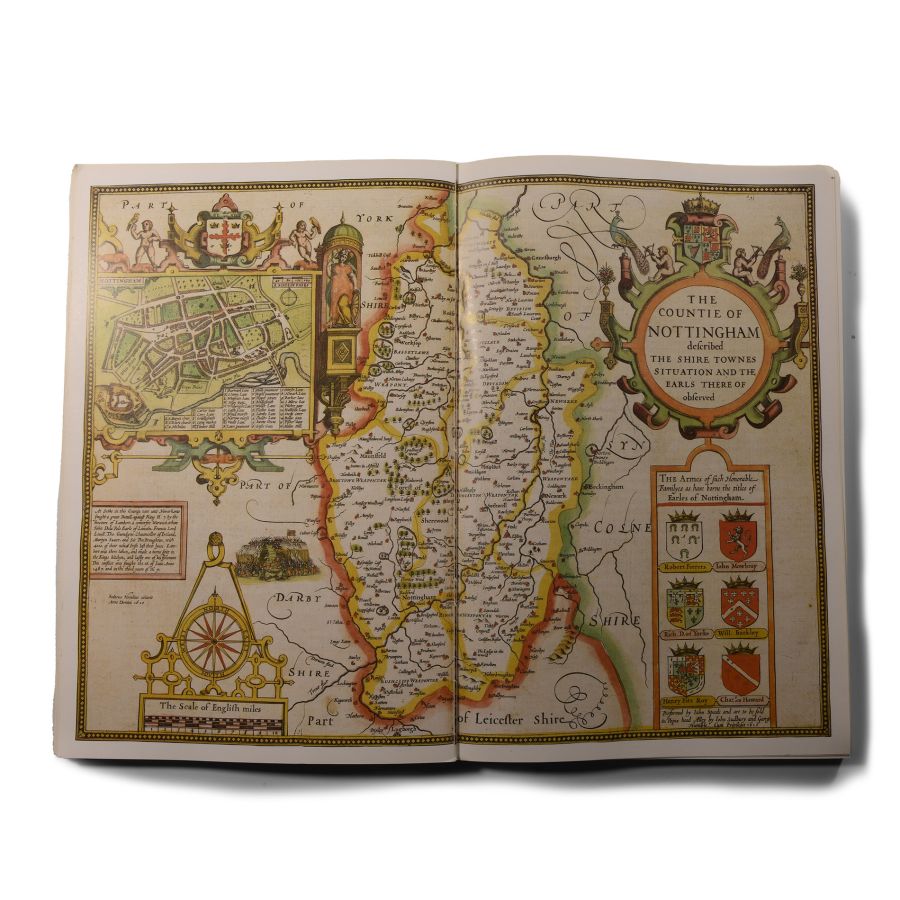
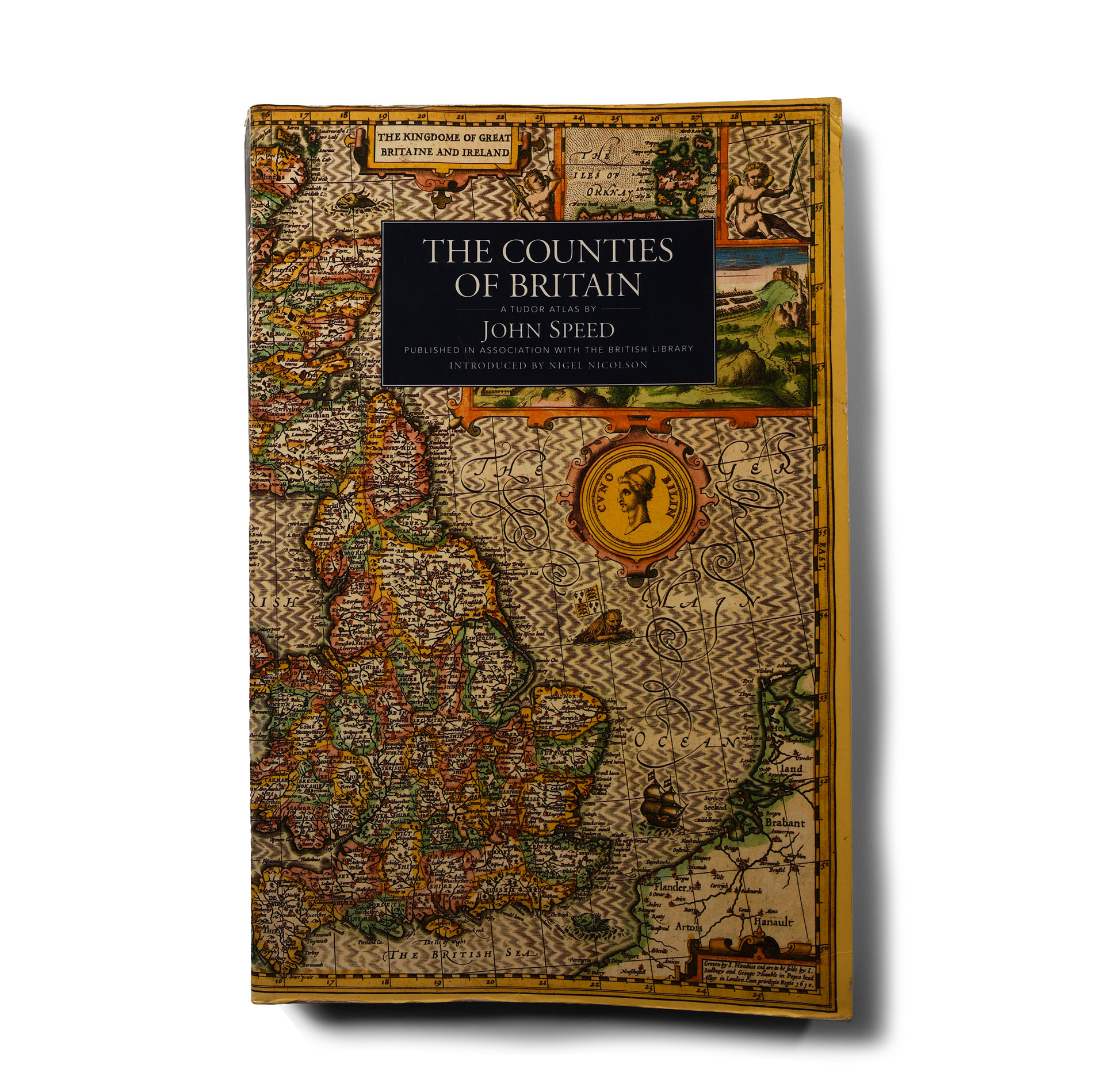
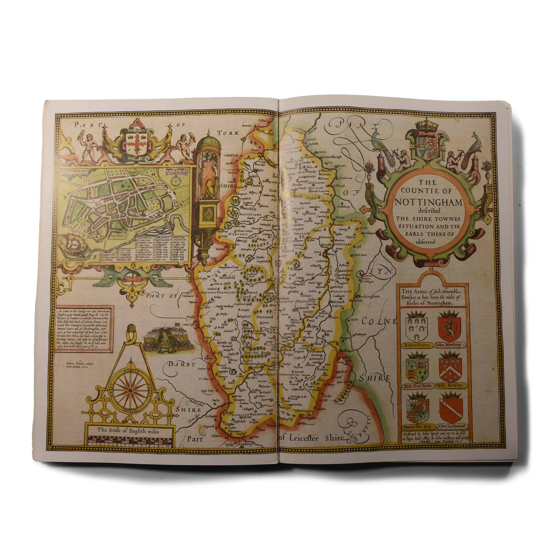
General Books - Nicolson - The Counties of Britain - A Tudor Atlas by John Speed
1988 A.D.
12 x 8 in. (1.22 kg, 30.5 x 20 cm).
Nigel Nicolson - The Counties of Britain - A Tudor Atlas by John Speed - Pavilion Books, London, 1995 - card covers, 288 pp, reproduction maps. [No Reserve]
ProvenanceProperty of a Kent, UK, collector.
CONDITIONTimeLine Auctions follows a vetting process to ensure the authenticity and legality of all items, reinforcing our commitment to integrity and responsible trading. Each antiquity, antique, and coin lot undergoes thorough examination by a vetting committee of at least ten external specialists, professional trade association members, scientists, and archaeologists: Our Vetting Process
AUCTIONS:
TimeLine is a leading auction house specialising in antiquities, ancient art, collectables, natural history, coins, medals, and books. Our auctions offer museums, collectors, historians, and enthusiasts the opportunity to acquire unique and historically significant pieces.
LOT 1979
General Books - Nicolson - The Counties of Britain - A Tudor Atlas by John Speed
Sold for (Inc. bp): £33
-
General Books - White - Gold: its Place in the Economy of Mankind
1921 A.D.Sold for (Inc. bp): £26
B. White - Gold: its Place in the Economy of Mankind (Common Commodities and Industries) - Pitmans, London, 1921 - hardback, cloth covers with black blocking and titling - 130pp, fold-out tables, text figures. 234 grams, 18.5 x 12.5 cm
Property of a Kent, UK, collector. -
.jpg)
General Books - Nower - A Display of Heraldrie and An Exact Register of All the Knights of the Garter
1679 A.D.Sold for (Inc. bp): £260
Francis Nower - A Display of Heraldrie (5th Edition) - Richard Blome, London, 1679 - hardback, marbled boards, leather quarter binding - 444 pp plus 36 pp, 'An Exact Register of All the Knights of the Garter'. 1.4 kg, 29 x 19.5 cm
Property of a Kent, UK, collector. -
General Books - Four Maps of Great Britain Designed by Matthew Paris About A.D. 1250
1928 A.D.Sold for (Inc. bp): £59
Four Maps of Great Britain Designed by Matthew Paris About A.D. 1250 -Trustees of the British Museum, London, 1928 - hardback, cloth binding to boards - 11pp, 4 colour maps; one page partly detached. 669 grams, 41 x 29.5 cm
Property of a Kent, UK, collector.
