
Loading, please wait...
LOT 1080
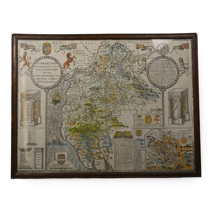
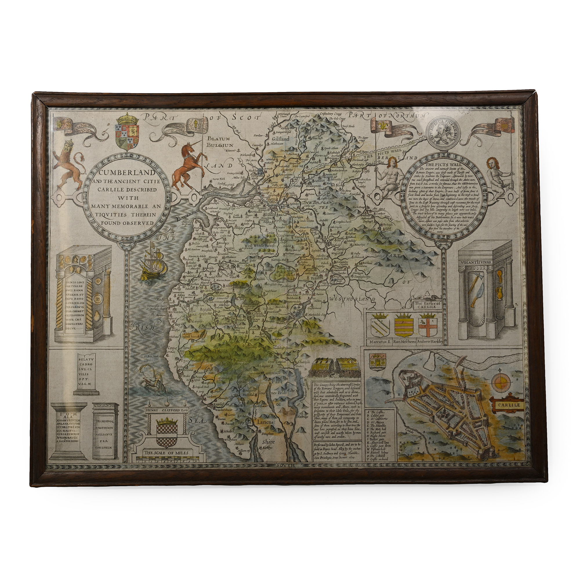
Hadrian's Wall and Roman Antiquities Map by John Speed
PUBLISHED 1610 A.D.
21 1/8 x 16 3/8 in. (1.57 kg, 53.8 x 41.5 cm).
A fine original double-page hand-coloured map of Cumberland and adjacent areas by John Speed, published in 1610, depicting Hadrian's Wall, Roman antiquities, the fortified city of Carlisle, tribal lands of 'The Brigantes', etc. Framed and glazed; reverse damaged. [No Reserve]
ProvenanceIan Wilkinson collection, Nottinghamshire, UK, formed since 1985.
CONDITIONTimeLine Auctions follows a vetting process to ensure the authenticity and legality of all items, reinforcing our commitment to integrity and responsible trading. Each antiquity, antique, and coin lot undergoes thorough examination by a vetting committee of at least ten external specialists, professional trade association members, scientists, and archaeologists: Our Vetting Process
AUCTIONS:
TimeLine is a leading auction house specialising in antiquities, ancient art, collectables, natural history, coins, medals, and books. Our auctions offer museums, collectors, historians, and enthusiasts the opportunity to acquire unique and historically significant pieces.
-
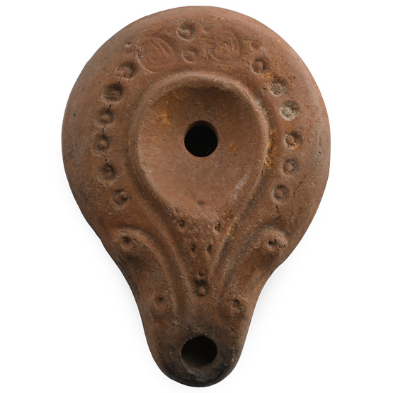
Roman Terracotta Slipper Oil Lamp
Circa 4th-5th century A.D.Sold for (Inc. bp): £130
Piriform in plan with volute nozzle, band of impressed pellets to the shoulder. 40 grams, 79 mm
Acquired at a London antiques fair in the 1990s. From the private collection of a Devon, UK, lady.
Some lamps, with or without a central handle, with one or more nozzles, either opposed or contiguous, could be of Corinthian production, representing a fine example of remarkable quality and finesse. On the other hand, some examples can be considered a local/regional production in the Eastern Roman Empire. -
.jpg)
Roman Rock Crystal Gemstone with Crouching Lion
2nd-3rd century A.D.Sold for (Inc. bp): £111
With intaglio lion crouching with head reversed towards a crescent; supplied with a museum-quality impression. 1.40 grams, 15.92 mm
From the private collection of a European gentleman (1942-2024), formed since the 1970s. -
.jpg)
Roman Enamelled Bronze Plate Brooch
Circa 2nd century A.D.Sold for (Inc. bp): £312
Comprising a central enamelled disc with triangular lateral spurs forming a scaphoid plate, eight discoid cells to the rim, central knop; pin-lugs, pin and catch to the reverse; the enamel restored. 9.15 grams, 44 mm
Ex German art market, 2000s. Acquired from an EU collector living in London. From the collection of a Surrey, UK, gentleman.
